The Isle of Harris is the southern part of the Lewis and Harris land mass, and looks nothing like Lewis. Where Lewis is flat and peaty, Harris rises into real mountains in the north, with the Clisham at 799 metres the highest point in the Outer Hebrides, and falls away in the south to the white shell sand beaches that made it famous.
Around 2,000 people live here. Tarbert is the main village and the ferry port for Skye; Leverburgh in the south takes the ferry to Berneray and the Uists. The east coast, reached by the winding Golden Road, is a startling moonscape of bare gneiss and tiny inlets, completely unlike the west.
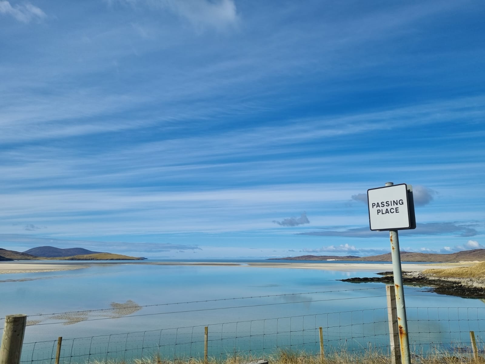
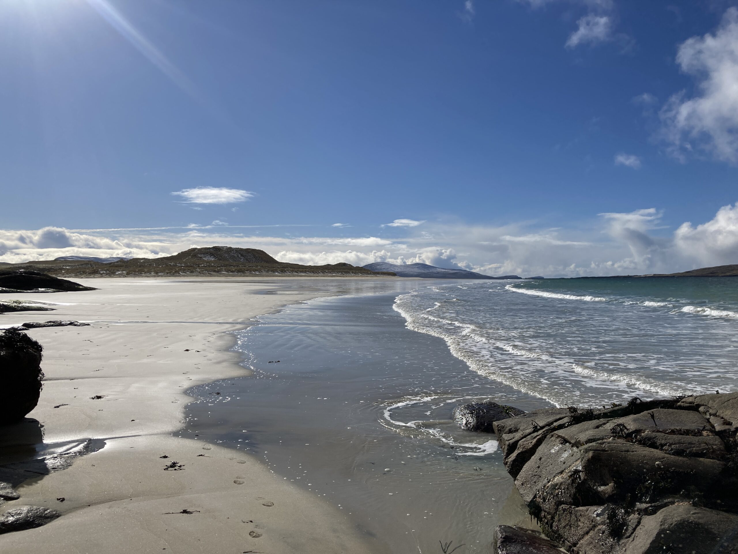
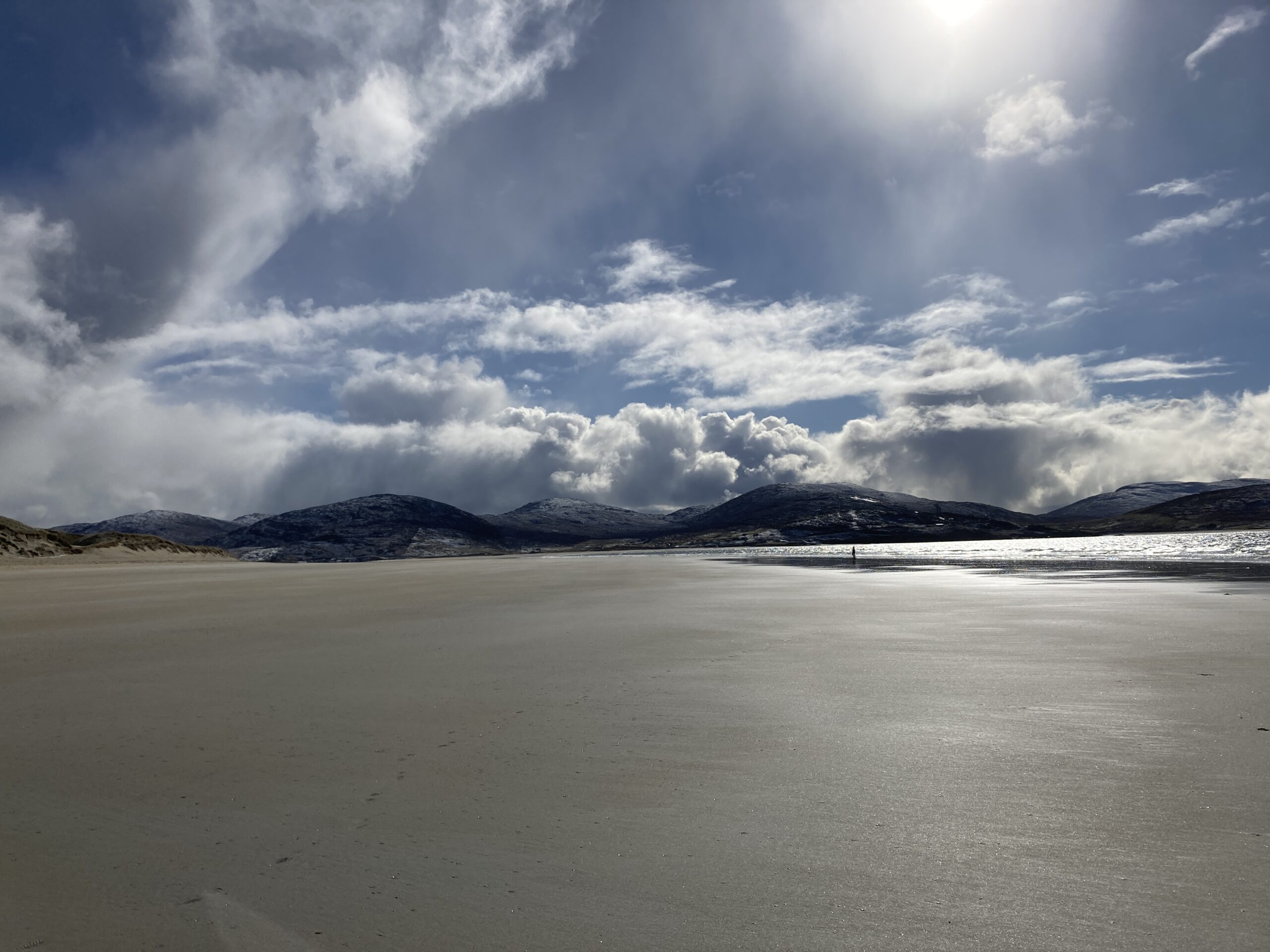
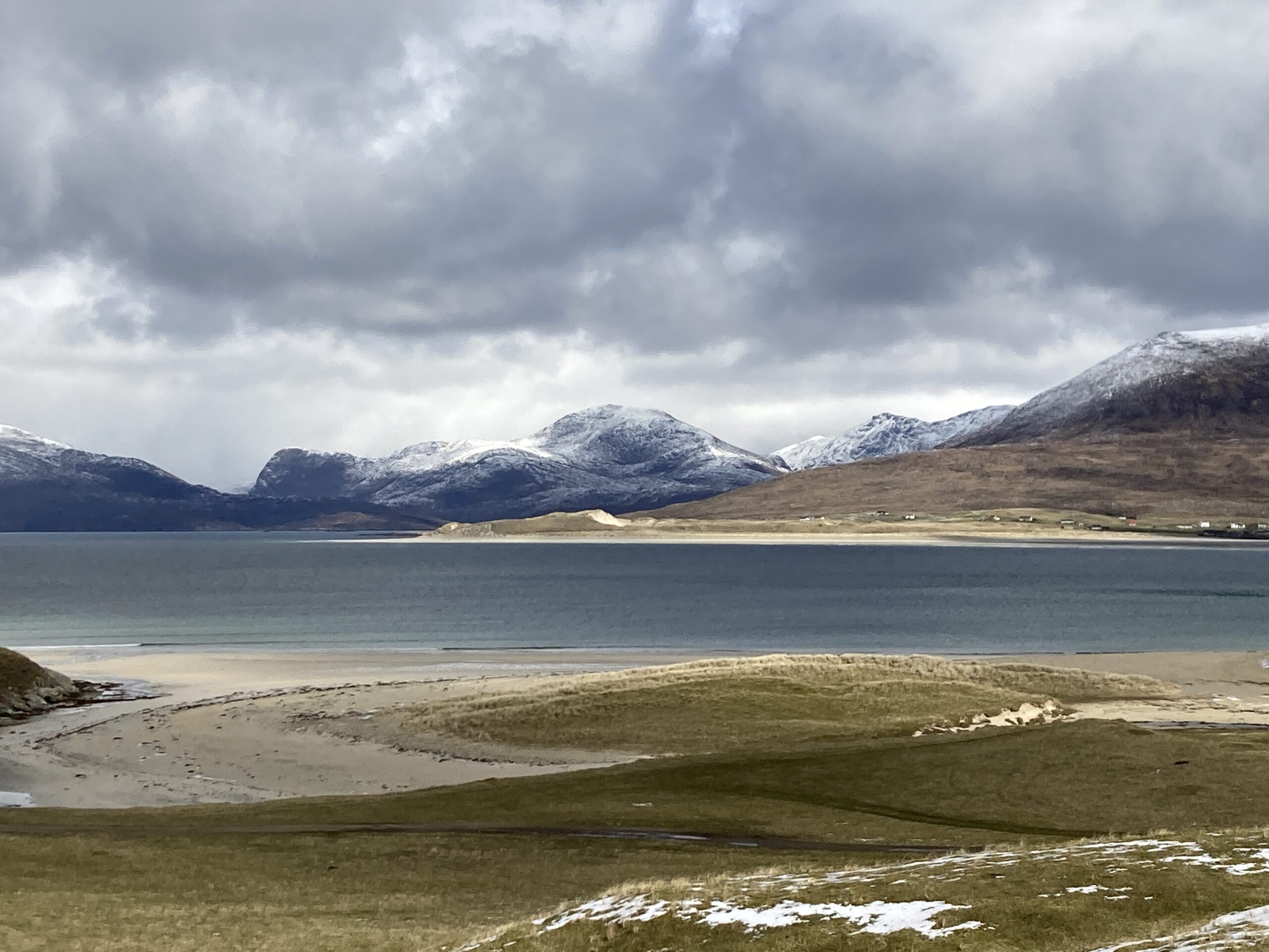
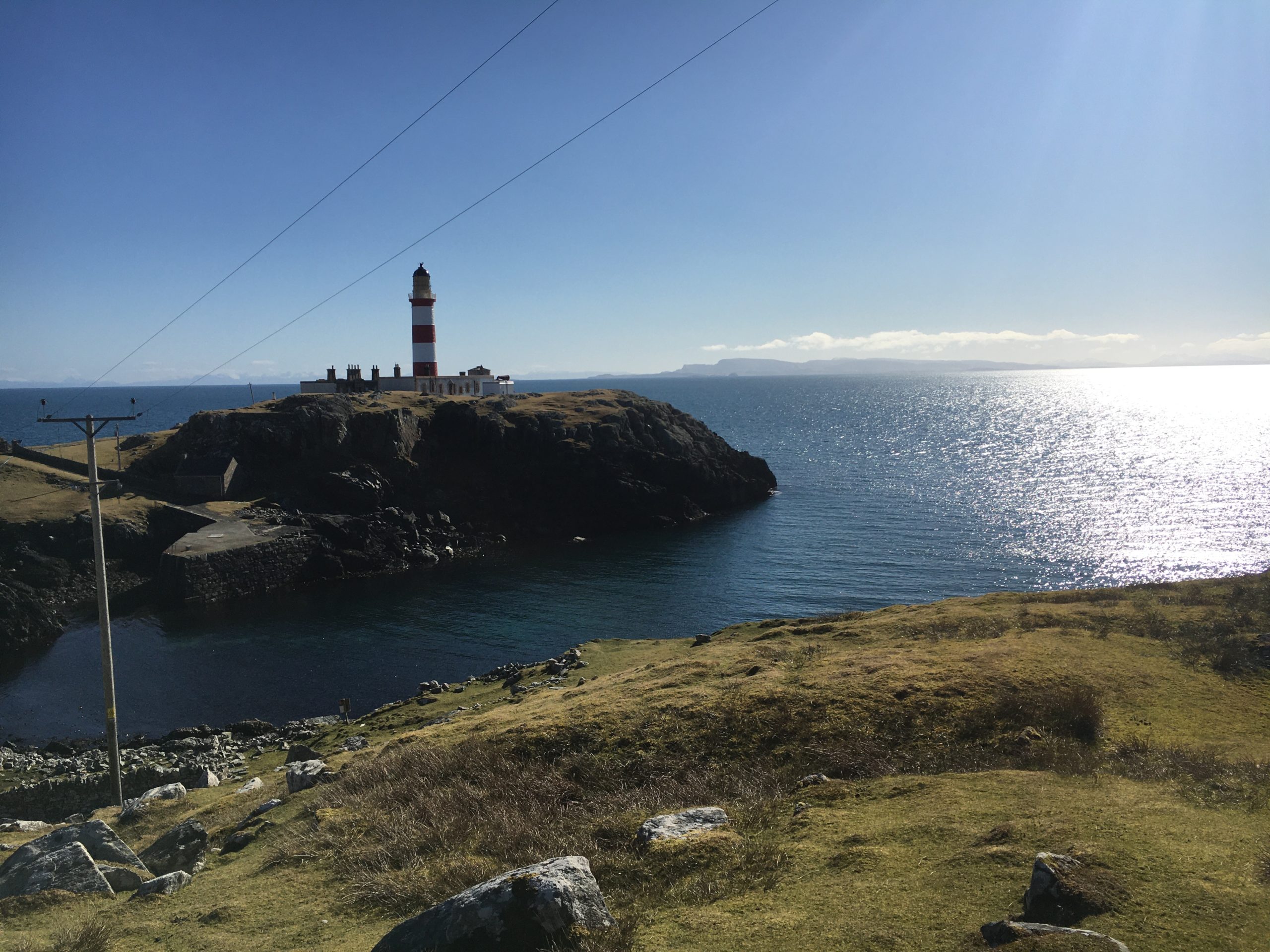
The Isle of Harris is located to the south of the larger Isle of Lewis. The two islands are connected by a land border, but they are often referred to together as the Isle of Lewis and Harris.
Geographically, the Isle of Harris is known for its stunning beaches and rugged landscapes. The island is around 40 miles long and has an area of 841 square kilometres, with a population of around 2,000 people. The west coast of Harris faces the Atlantic Ocean and is home to some of the most beautiful beaches in Scotland, including Luskentyre and Scarista.
The east coast of the island is more sheltered and is characterised by rocky headlands and inlets, as well as several freshwater lochs. The highest point on the island is Clisham, which stands at 799 metres and offers panoramic views over the surrounding landscape.
The main settlement on the Isle of Harris is Tarbert, which is located on a narrow isthmus that connects the north and south parts of the island. Other notable villages include Leverburgh, which is the main ferry port for the southern Outer Hebrides, and the village of Scalpay, which is located on a small island of the same name, connected to Harris by a bridge.
The Isle of Harris is also known for its rich cultural heritage, including traditional weaving and the Gaelic language, which is still spoken by many islanders. The Harris Tweed industry is particularly famous, with local weavers producing high-quality tweed cloth that is used in fashion and home furnishings around the world.
In short
The Isle of Harris is the southern part of the Lewis and Harris land mass, with about 2,000 people. It rises into mountains in the north, including the Clisham at 799 metres, and falls to white shell sand beaches on the west coast. Tarbert is the main village and ferry port for Skye; Leverburgh serves the Uists. The rocky east coast is followed by the single track Golden Road.
Frequently asked questions
What is the Isle of Harris known for?
Its white shell sand beaches on the west coast, particularly Luskentyre and Scarista, Harris Tweed, the mountains of North Harris including the Clisham, and St Clement’s Church at Rodel.
How do you get to the Isle of Harris?
By ferry from Uig on Skye to Tarbert, around one hour and forty minutes, or by driving south from Stornoway on Lewis, since the two are joined by land. There is also a ferry from Berneray to Leverburgh in the south.
What is the Golden Road on Harris?
The single track road that winds along the rocky east coast of Harris through Bays villages. It was given the name because of the cost of building it through such difficult ground. The landscape along it is bare gneiss and small inlets, quite unlike the west coast.
How high is the Clisham?
799 metres, which makes it the highest hill in the Outer Hebrides. It stands in North Harris and is climbed from the A859 between Tarbert and Lewis.